Overview
At HLZAE, we always strive to be on the cutting edge of technology to ensure we are giving our clients the best possible service and most accurate solutions. Our goal is to consistently provide our clients an accurate analysis of building systems and structural conditions.
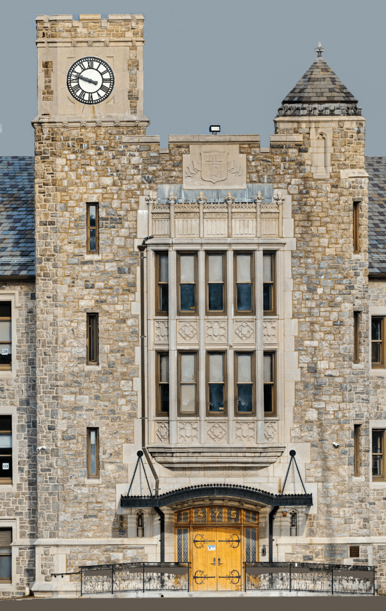
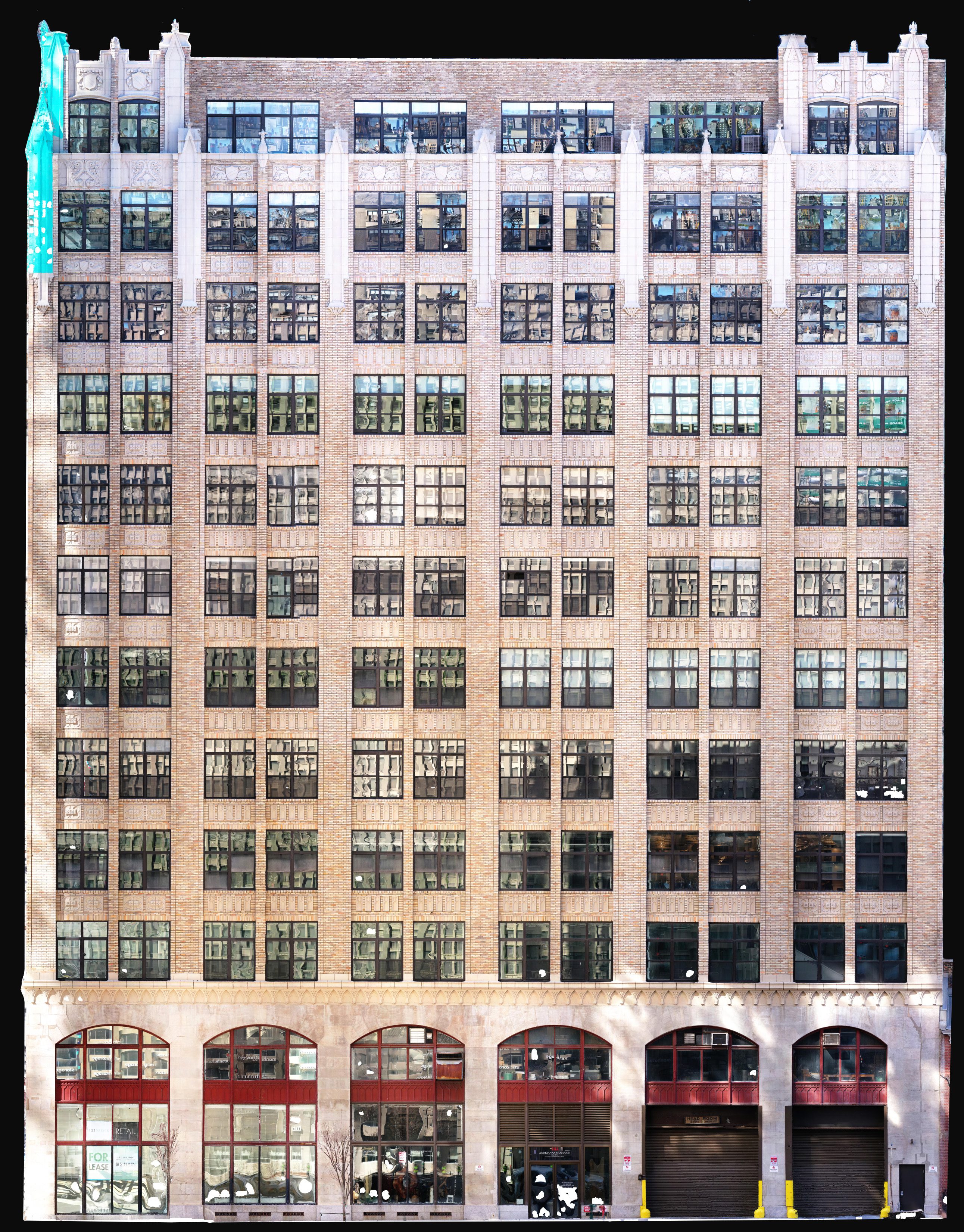
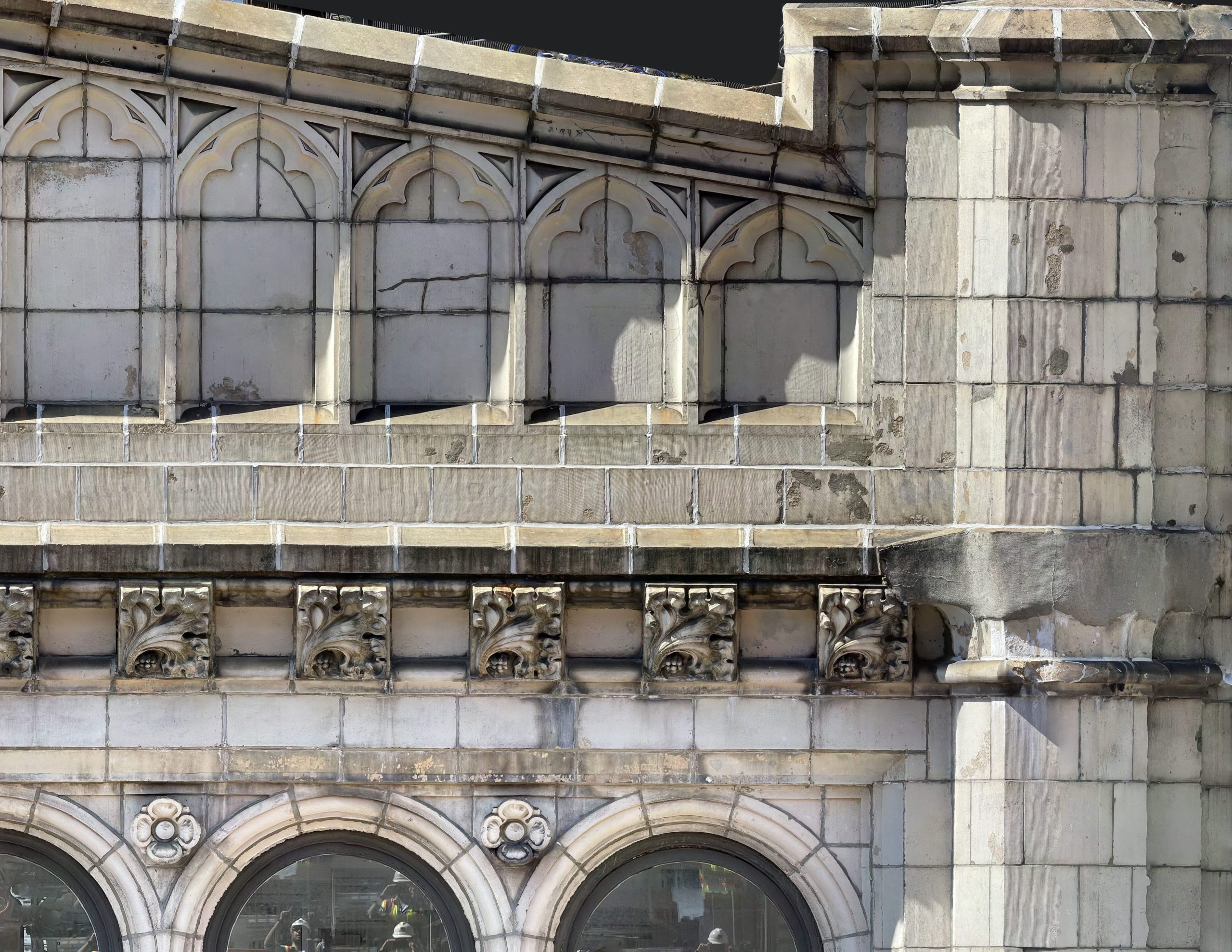
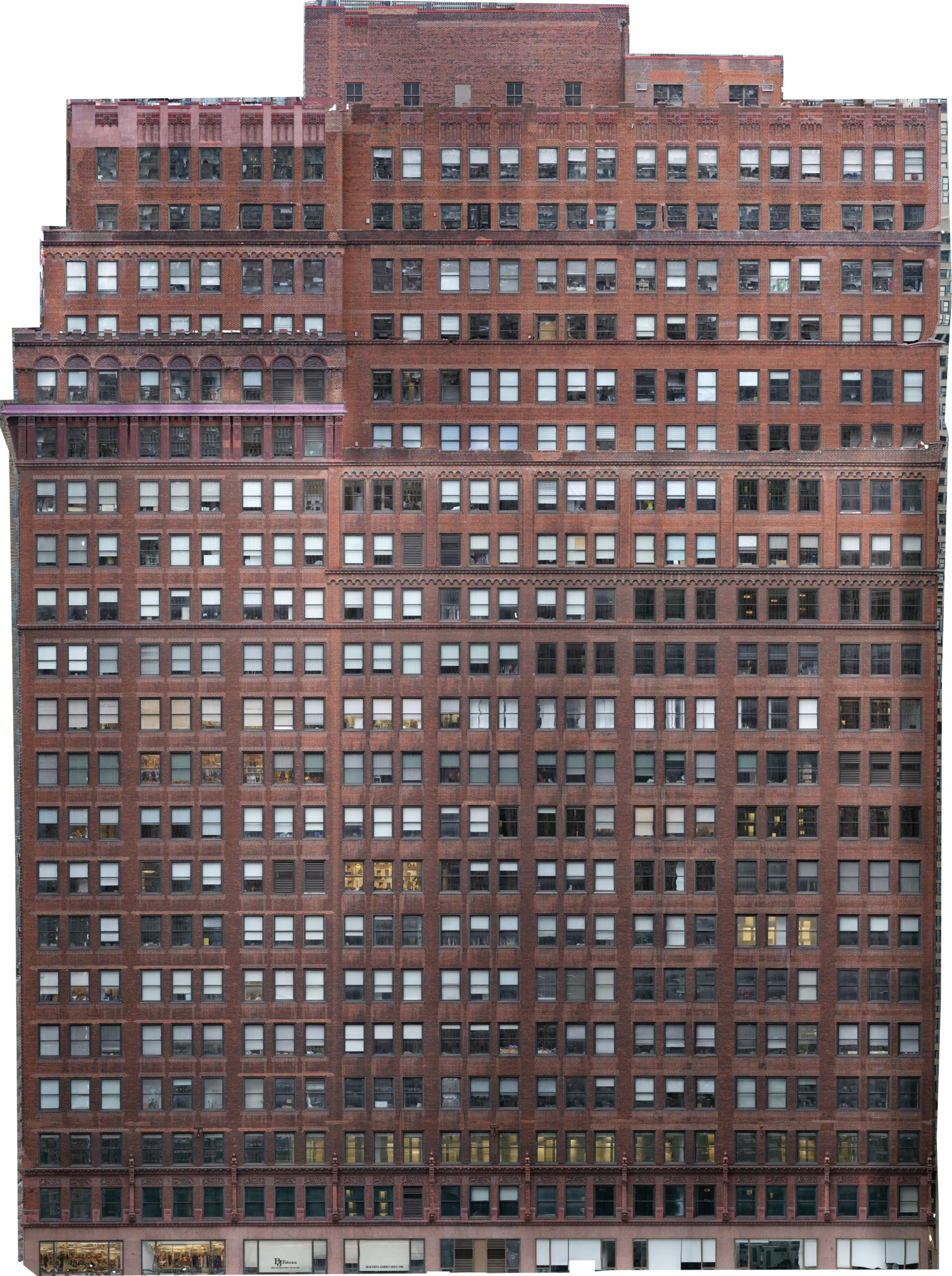
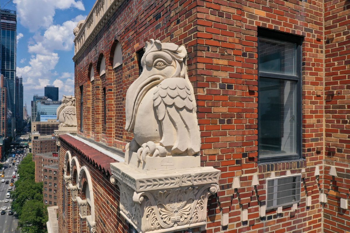
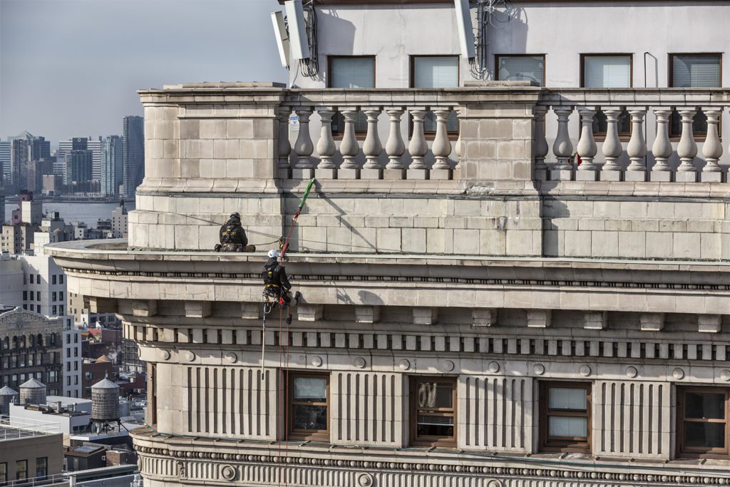
Our team has partnered with veteran drone pilots to perform close-up building façade inspections to give our clients an additional layer of visibility on their building. Drone inspection photogrammetry allows for our team to capture images of the building safely and in a less intrusive way allowing our team to better understand the scale of necessary repairs. Through this, HLZAE can make an accurate assessment of the time and costs associated with the project.
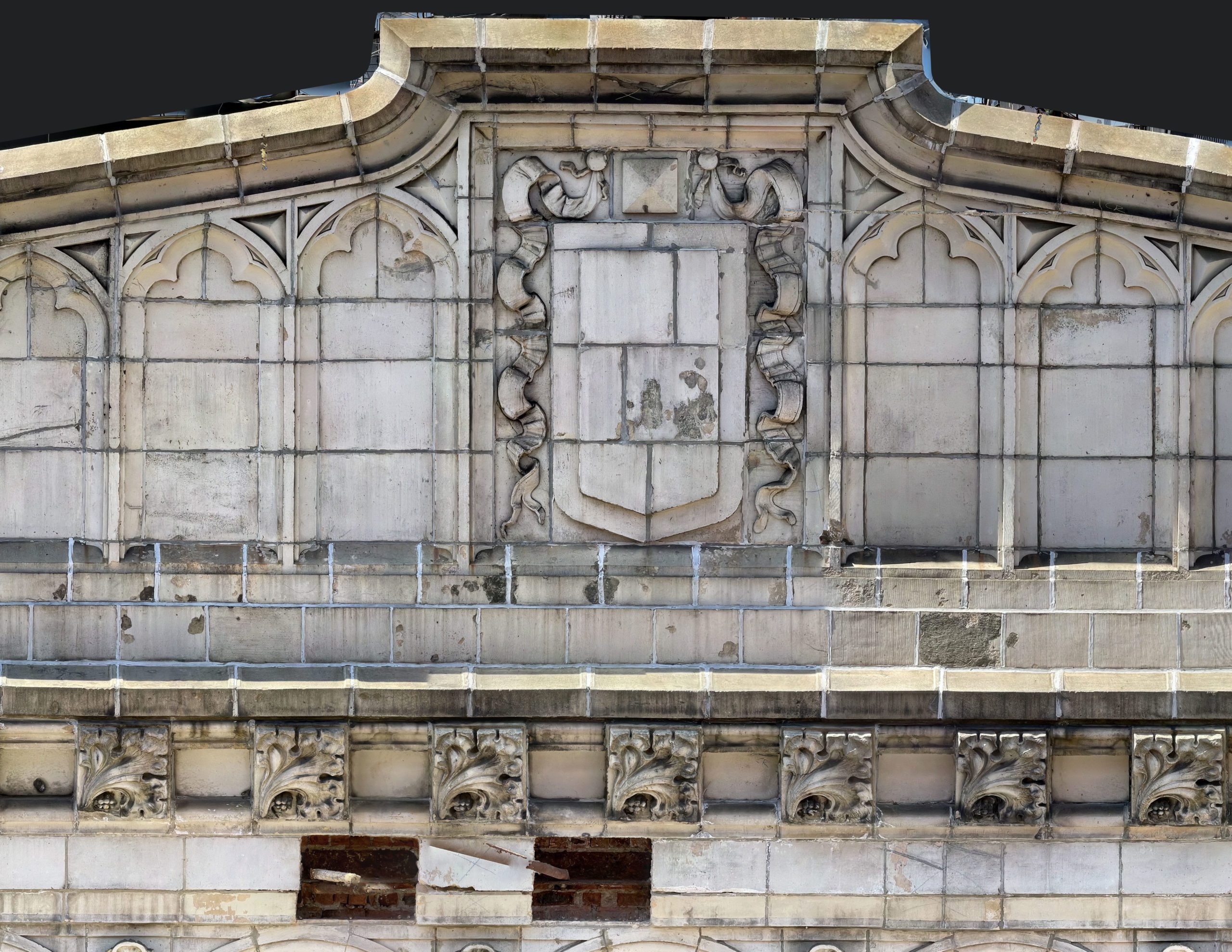
Thousands of drone-captured images record a snapshot in time for every single inch of the building. Our architects then use cutting-edge AI Technology to create 2D and 3D visual maps of the buildings. These accurately scaled models identify the tiniest details helping us to understand your needs better; mitigating nasty surprises and change orders. By using photogrammetry, we are able to perform detailed scoping, provide more precise pricing and ultimately, save you time and money.
Drone inspections can be used on a variety of projects including:
- 6 Stories and higher
- Difficult-to-rig Buildings
- Buildings on a tight deadline
- Buildings Requiring 100% documentation
- Accurate Detailed Scoping
- Buildings with a lot of damage
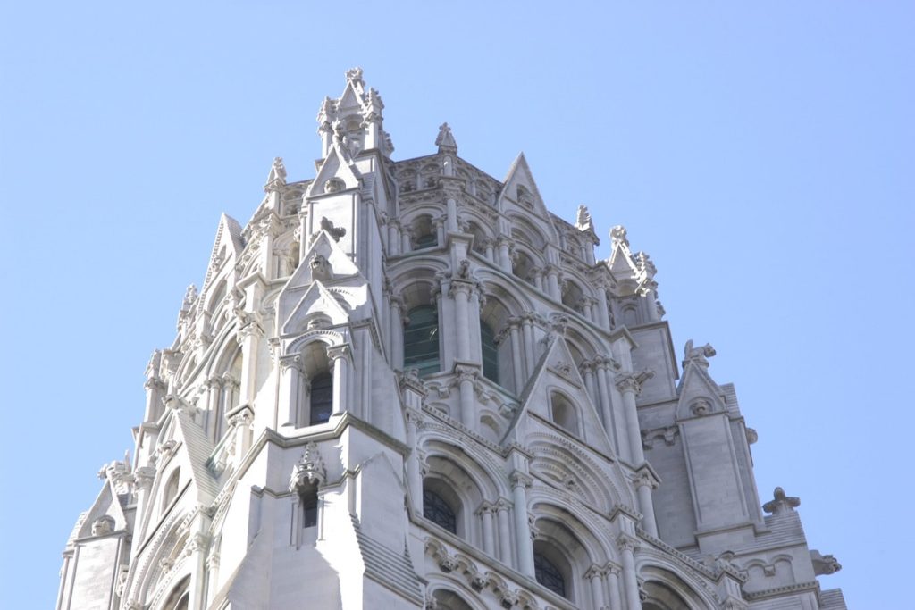
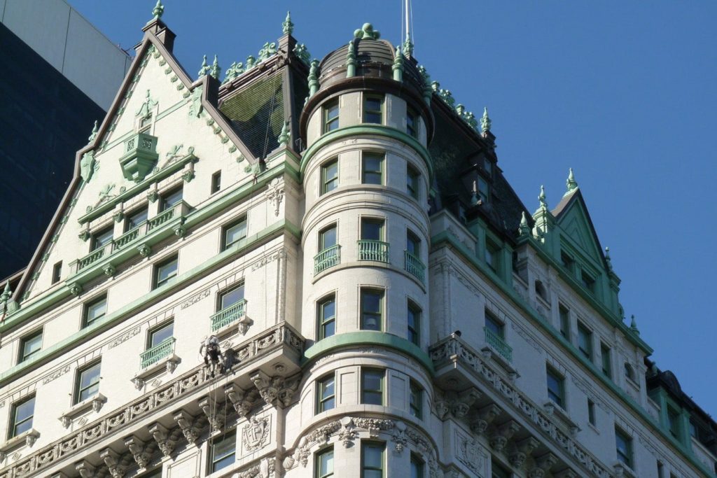
- Decorative / Landmark Buildings
- Emergency Investigations
- Cataloging of Stones, Materials
- Structurally Damaged Buildings
- Fire Damaged Buildings
Milrose Services
Forensic Project Map
This map illustrates the extensive experience of our team, highlighting the numerous forensic projects we've undertaken across New York City. To maintain the confidentiality and sensitivity of the work, specific project addresses have been omitted.
Related News
Ready to get Started?
